


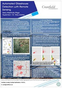
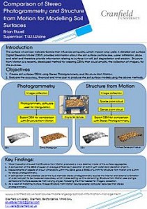
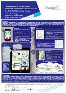
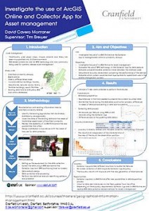
Theses – Student personal projects Every year, our students undertake a personal research project, or thesis, lasting 3 to 4 months. The thesis allows students to consolidate learning aspects of the course they have followed whilst applying their knowledge to a real–world situation. Many of the projects that are undertaken have industrial sponsors, Where the thesis topic is selected to exemplify realistic scenarios. Presented below are an indicative selection of theses following the geospatial and informatic themes.
|
|
|
|
|
|
|
|
|
|
|
|
|
|
|
|
|
|
Tranquility Mapping
A bit of an older example of work now – and not with all parts working when posted to this site here, but this tranquility mapping project is indicative of the sort of research project undertaken.
Please note that the works represented here are student projects and are offered to provide an indicative flavour of student GIS and wider informatics work at Cranfield. Any results or opinions in these works should be considered in that view.]]>