taught Masters degree courses and short courses of interest to the geospatial community and bespoke training for supporting CPD activities. Our interests extend firmly into the research arena, where several of our Doctoral and research Masters activities centre on use and development of geospatial software technologies and data analytical methods.
The most relevant core taught Masters course we run is:
MSc Geographical Information Management |
| The Geographical Information Management MSc is unique in providing a balanced coverage of the key GIS technologies. The course has been developed in collaboration with industry, in response to the increased demand globally for multi-disciplinary managers, advisors and consultants in resource management.
Geographical information management is an exciting and rapidly growing branch of information technology (IT) incorporating satellite remote sensing, aerial photography and other spatial data such as soil survey information, to derive information which is essential for the management of the earth’s resources. A suite of technologies exist that can be applied at local, national and global levels to issues such as climate change, improving farming yields, tropical deforestation, transportation, smart navigation systems, disaster response management, recreation, property management and telecommunications.
Sustainable use or conservation of the earth’s resources requires the organisation, exploitation and integration of technologies such as database management, image processing and digital cartography, to ensure provision of high quality, reliable and up-to-date information. The Geographical Information Management programme has been developed in collaboration with industry, in response to the increased demand globally for multi-disciplinary managers, advisors and consultants in resource management.
The course is an exciting combination of rigorous academic, technical and practical training. It provides a thorough training in technical, analytical and research skills needed for a career in this expanding field. Throughout the programme students focus on identifying problems and creating solutions through selection and integration of the appropriate technologies. |
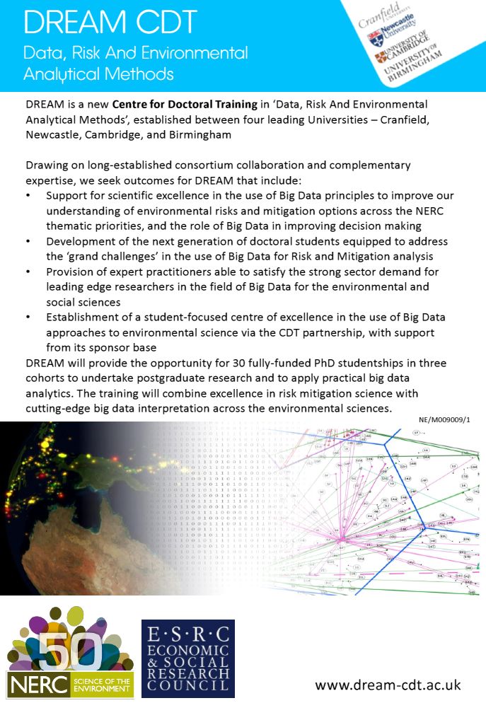 |
| DREAM (www.dream-cdt.ac.uk) is a Centre for Doctoral Training in ‘Data, Risk And Environmental Analytical Methods’, established between four leading Universities – Cranfield, Newcastle, Cambridge, and Birmingham. Download the brochure. |
]]>


